
Explore Armenia, place by place
From Yerevan to the highlands of Syunik: the regions, mountains, monasteries and villages our routes pass through, and how to reach each one.
Armenia on the map
155 placesTap a pin to open the place. Filter by type above.
Browse by type
All places
156 places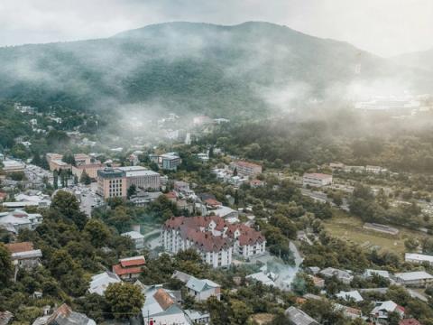
Dilijan
Tavush · Cities and towns
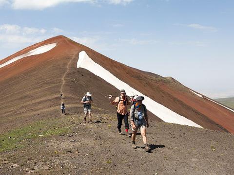
Geghama Mountains
Gegharkunik · Mountains and passes
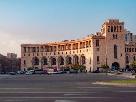
Yerevan
Yerevan · Cities and towns
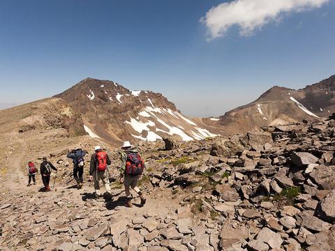
Mount Aragats
Aragatsotn · Mountains and passes
Syunik
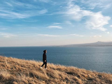
Lake Sevan
Gegharkunik · Lakes and shores
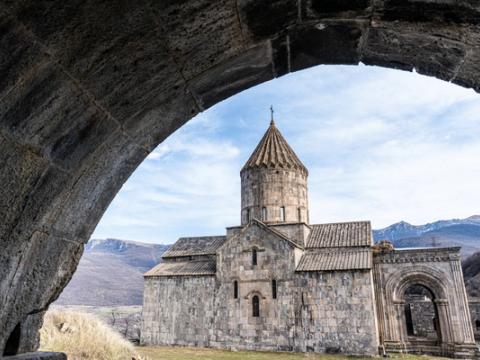
Tatev
Syunik · Monasteries and churches
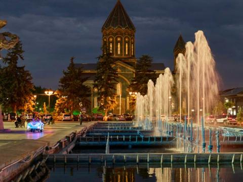
Gyumri
Shirak · Cities and towns
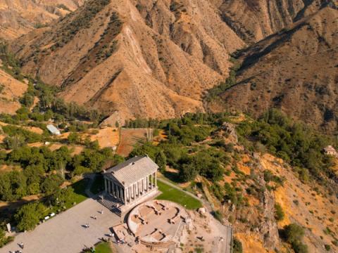
Garni
Kotayk · Ancient sites
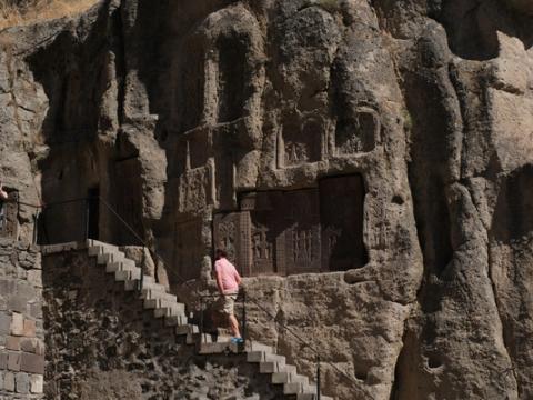
Geghard Monastery
Kotayk · Monasteries and churches
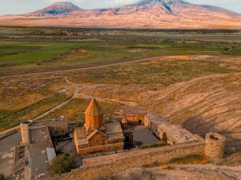
Khor Virap
Ararat · Monasteries and churches
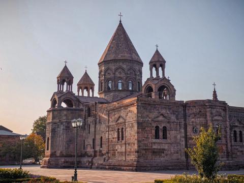
Etchmiadzin (Vagharshapat)
Armavir · Cities and towns
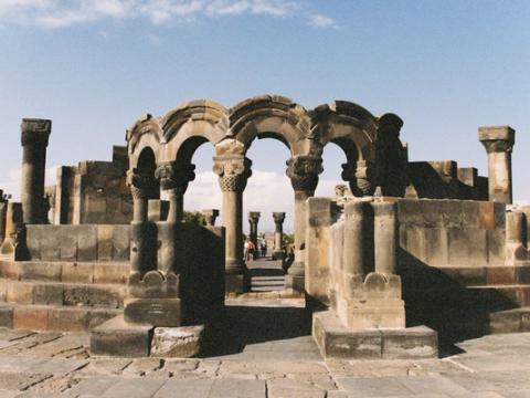
Zvartnots Cathedral
Armavir · Ancient sites
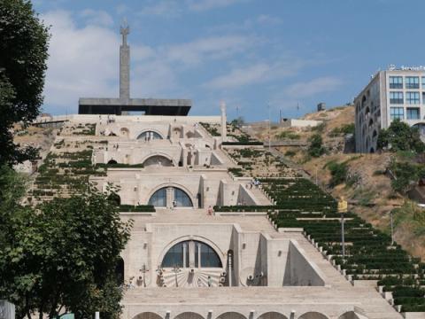
Cascade Complex
Yerevan · Landmarks
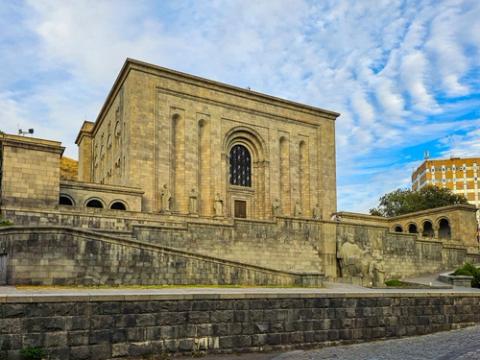
Matenadaran
Yerevan · Museums
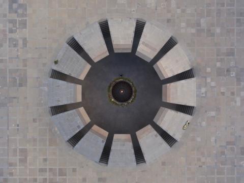
Armenian Genocide Museum
Yerevan · Museums
Erebuni Fortress
Yerevan · Fortresses
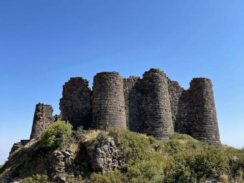
Amberd Fortress
Aragatsotn · Fortresses
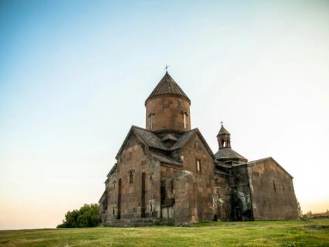
Saghmosavank
Aragatsotn · Monasteries and churches
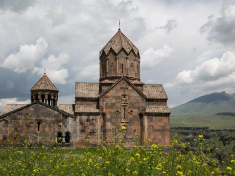
Hovhannavank
Aragatsotn · Monasteries and churches
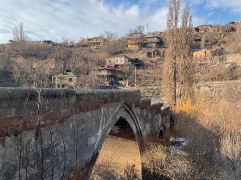
Ashtarak
Aragatsotn · Cities and towns
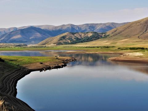
Aparan Reservoir
Aragatsotn · Lakes and shores
Khosrov Forest State Reserve
Ararat · Parks and reserves
Angels' Canyon
Ararat · Canyons and rivers
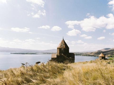
Sevanavank
Gegharkunik · Monasteries and churches
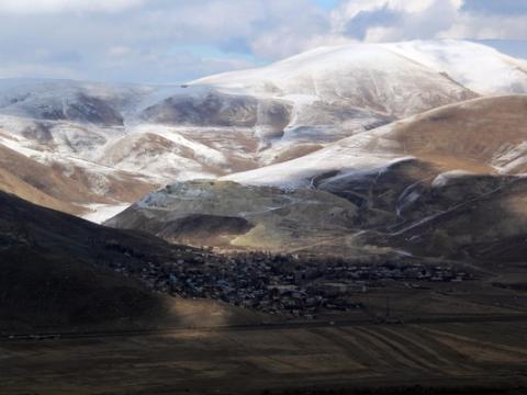
Artanish
Gegharkunik · Villages
Tsaghkadzor
Kotayk · Cities and towns
Aghveran
Kotayk · Villages
Teghenyats Monastery
Kotayk · Monasteries and churches
Vanadzor
Lori · Cities and towns
Stepanavan
Lori · Cities and towns
Goris
Syunik · Cities and towns
Sisian
Syunik · Cities and towns
Kapan
Syunik · Cities and towns
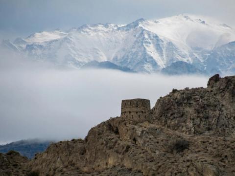
Meghri
Syunik · Cities and towns
Khndzoresk
Syunik · Villages
Old Khot
Syunik · Monasteries and churches
Vorotan Gorge
Syunik · Canyons and rivers
Mount Khustup
Syunik · Mountains and passes
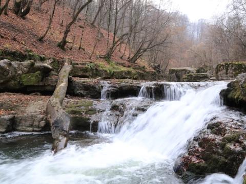
Ijevan
Tavush · Cities and towns
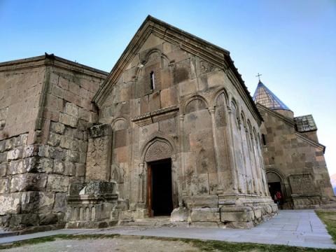
Goshavank
Tavush · Monasteries and churches
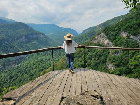
Yenokavan
Tavush · Villages
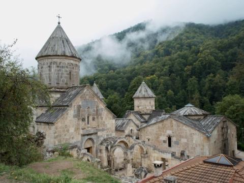
Haghartsin Monastery
Tavush · Monasteries and churches
Dilijan National Park
Tavush · Parks and reserves
Lake Parz
Tavush · Lakes and shores
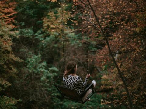
Lastiver
Tavush · Caves
Mount Dimats
Tavush · Mountains and passes
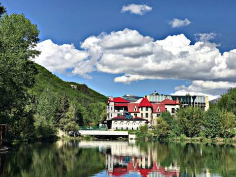
Jermuk
Vayots Dzor · Cities and towns
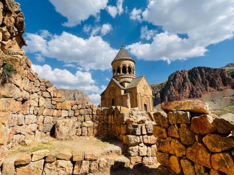
Noravank
Vayots Dzor · Monasteries and churches
Smbataberd
Vayots Dzor · Fortresses
Martiros
Vayots Dzor · Villages
Tsakhats Kar Monastery
Vayots Dzor · Monasteries and churches
St Hripsime Church
Armavir · Monasteries and churches
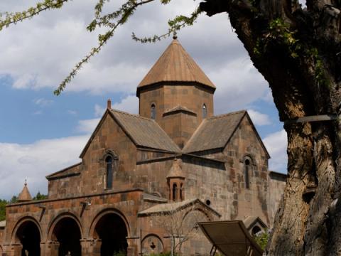
St Gayane Church
Armavir · Monasteries and churches
Sardarapat Memorial
Armavir · Landmarks
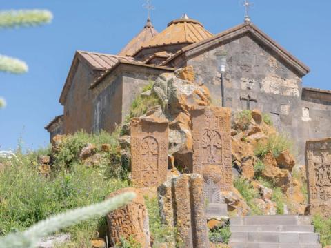
Hayravank Monastery
Gegharkunik · Monasteries and churches
Areni-1 Cave
Vayots Dzor · Ancient sites
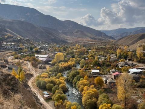
Areni
Vayots Dzor · Villages
Zorats Karer
Syunik · Ancient sites
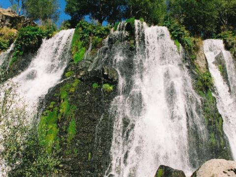
Shaki Waterfall
Syunik · Waterfalls
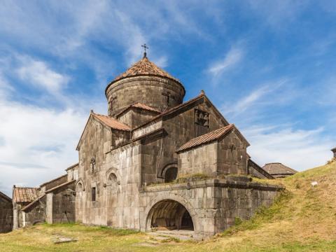
Haghpat Monastery
Lori · Monasteries and churches
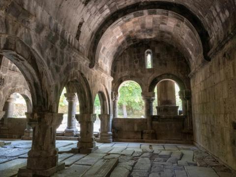
Sanahin Monastery
Lori · Monasteries and churches
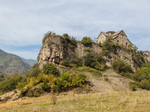
Akhtala Monastery
Lori · Fortresses
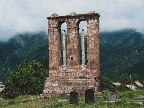
Odzun
Lori · Monasteries and churches
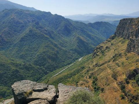
Debed Canyon
Lori · Canyons and rivers
Aparan
Aragatsotn · Cities and towns
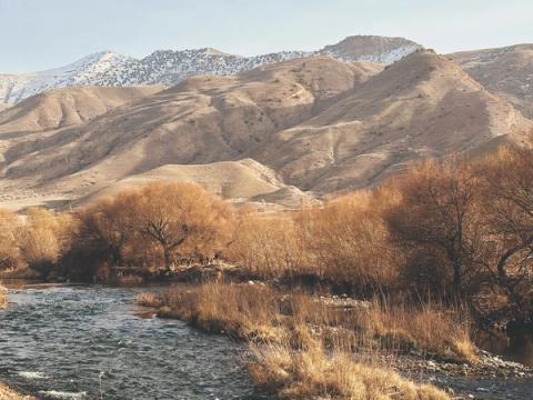
Azat River Valley
Kotayk · Canyons and rivers
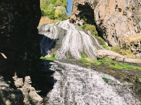
Jermuk Waterfall
Vayots Dzor · Waterfalls
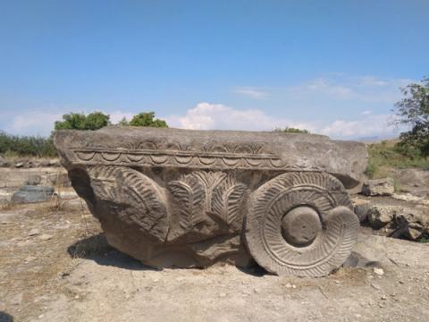
Dvin
Ararat · Ancient sites
Metsamor Archaeological Reserve
Armavir · Ancient sites
Kecharis Monastery
Kotayk · Monasteries and churches
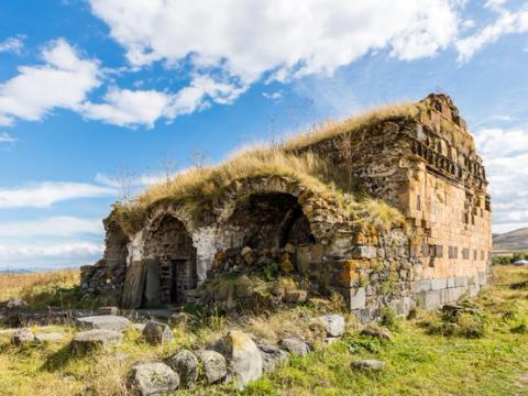
Lori Berd
Lori · Fortresses
Harichavank Monastery
Shirak · Monasteries and churches
Marmashen Monastery
Shirak · Monasteries and churches
Yereruyk Basilica
Shirak · Monasteries and churches
Makaravank
Tavush · Monasteries and churches
Gndevank
Vayots Dzor · Monasteries and churches
Selim Caravanserai
Vayots Dzor · Landmarks
Spitakavor Monastery
Vayots Dzor · Monasteries and churches
Kobayr Monastery
Lori · Monasteries and churches
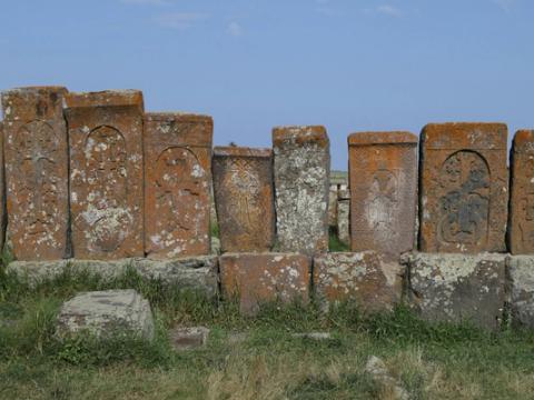
Noratus
Gegharkunik · Villages
Aruch Cathedral
Aragatsotn · Monasteries and churches
Oshakan
Aragatsotn · Villages
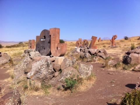
Armenian Alphabet Monument
Aragatsotn · Landmarks
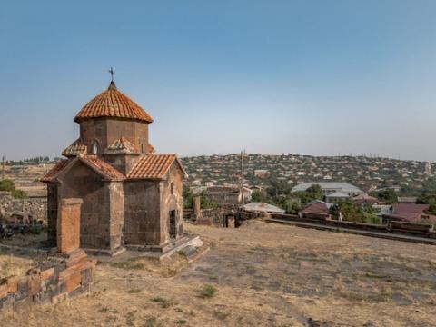
Karmravor Church
Aragatsotn · Monasteries and churches
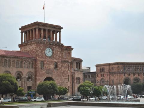
Republic Square
Yerevan · Landmarks
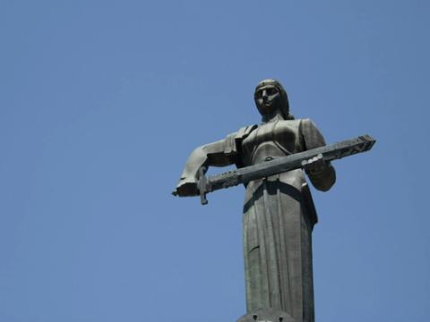
Mother Armenia
Yerevan · Landmarks
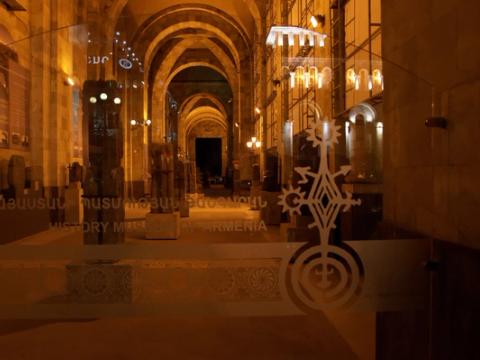
History Museum of Armenia
Yerevan · Museums
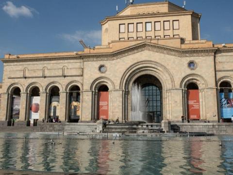
National Gallery of Armenia
Yerevan · Museums
Sergei Parajanov Museum
Yerevan · Museums
Shengavit
Yerevan · Ancient sites
Vernissage Market
Yerevan · Landmarks
Opera and Ballet Theatre
Yerevan · Landmarks
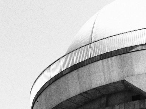
Byurakan
Aragatsotn · Villages
Tegher Monastery
Aragatsotn · Monasteries and churches
Mughni St Gevorg Monastery
Aragatsotn · Monasteries and churches
Talin
Aragatsotn · Cities and towns
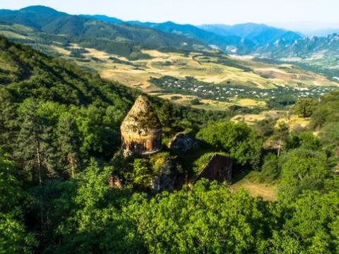
Khoranashat Monastery
Tavush · Monasteries and churches
Nor Varagavank
Tavush · Monasteries and churches
Lake Kari
Aragatsotn · Lakes and shores
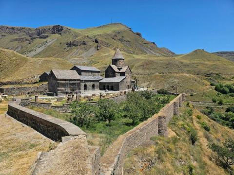
Vorotnavank
Syunik · Monasteries and churches
Lake Akna
Kotayk · Lakes and shores
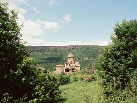
Hnevank
Lori · Monasteries and churches
Lake Arpi
Shirak · Lakes and shores
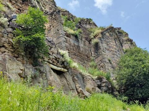
Horomayr Monastery
Lori · Monasteries and churches
Lake Gosh
Tavush · Lakes and shores
Alaverdi
Lori · Cities and towns
Tsaghkunyats Lake
Kotayk · Lakes and shores
Devil's Bridge
Syunik · Canyons and rivers
Spandaryan Reservoir
Syunik · Lakes and shores
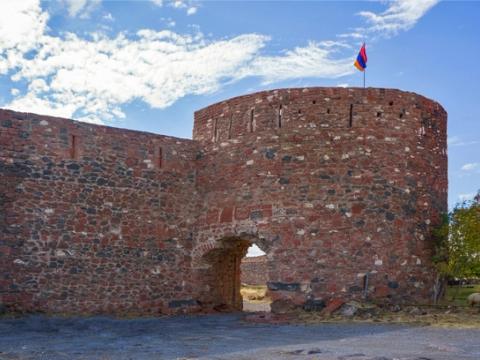
Dashtadem Fortress
Aragatsotn · Fortresses
Lake Rapi
Aragatsotn · Lakes and shores
Mastara
Aragatsotn · Villages
Lake Nazeli
Gegharkunik · Lakes and shores
Tsaghkevank (St Barbara Monastery)
Aragatsotn · Monasteries and churches
Azhdahak crater lake
Gegharkunik · Lakes and shores
Artashat and Ancient Artaxata
Ararat · Cities and towns
Lake Armaghan
Gegharkunik · Lakes and shores
Kakavaberd (Geghi Berd)
Ararat · Fortresses
Lake Tsakqar
Syunik · Lakes and shores
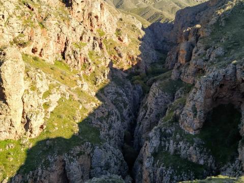
Hell's Canyon
Ararat · Canyons and rivers
Lake Kaputan
Syunik · Lakes and shores
Pink Canyon
Ararat · Canyons and rivers
Lake Ukhtasar
Syunik · Lakes and shores
Musaler and the Musa Dagh Memorial
Armavir · Villages
Shoghakat Church
Armavir · Monasteries and churches
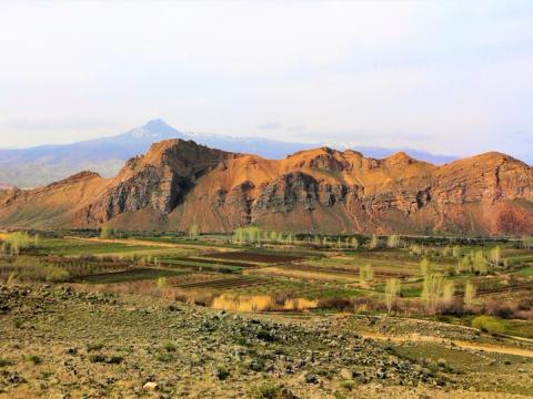
Bagaran
Armavir · Villages
Bjni
Kotayk · Fortresses
Makravank (Hrazdan)
Kotayk · Monasteries and churches
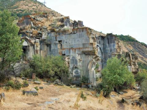
Aghjots Monastery
Kotayk · Monasteries and churches
Ptghnavank
Kotayk · Monasteries and churches
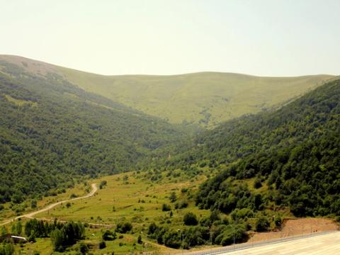
Hankavan
Kotayk · Villages
Meghradzor
Kotayk · Villages
Lchashen
Gegharkunik · Ancient sites
Vanevan Monastery
Gegharkunik · Monasteries and churches
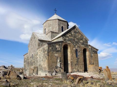
Kotavank
Gegharkunik · Monasteries and churches
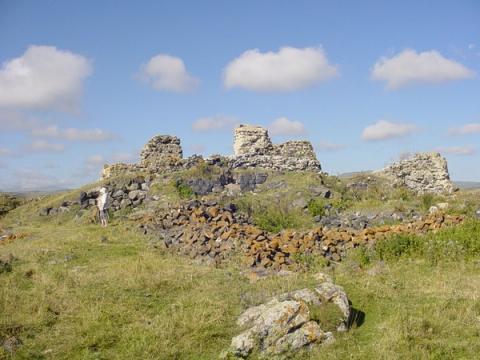
Berdkunk
Gegharkunik · Villages
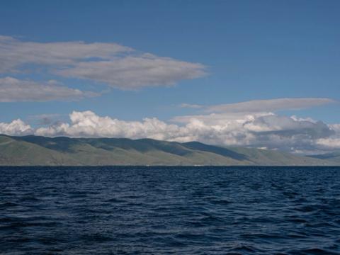
Sevan National Park
Gegharkunik · Parks and reserves
Levon's Divine Underground
Kotayk · Caves
Orbeli Brothers House-Museum
Kotayk · Museums
Kayan Fortress
Lori · Fortresses
Lmbatavank
Shirak · Monasteries and churches
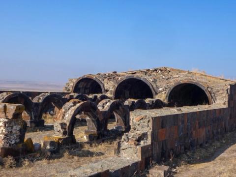
Jrapi Caravanserai
Shirak · Landmarks
Ardvi
Lori · Villages
Kumayri Historic District
Shirak · Landmarks
Sev Berd Fortress
Shirak · Fortresses
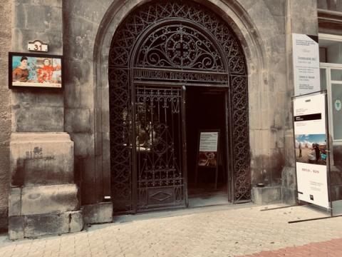
Aslamazyan Sisters Gallery
Shirak · Museums
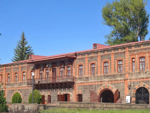
Dzitoghtsyan House-Museum
Shirak · Museums
Amasia
Shirak · Villages
Artik
Shirak · Cities and towns
Tumanyan House-Museum (Dsegh)
Lori · Museums
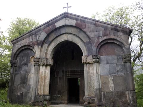
Bgheno-Noravank
Syunik · Monasteries and churches
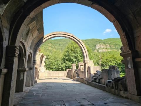
Vahanavank
Syunik · Monasteries and churches
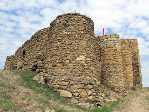
Berdavan Fortress
Tavush · Fortresses
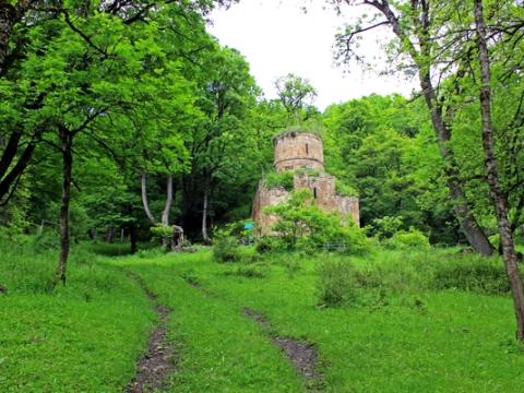
Aghavnavank
Tavush · Monasteries and churches
Yeghegis
Vayots Dzor · Villages
No places match these filters yet.
Region guides:YerevanAragatsotnAraratArmavirGegharkunikKotaykLoriShirakSyunikTavushVayots Dzor
Not sure where to go?
Tell us your dates and interests
We reply with a route that fits your time, season and pace. No payment is needed to ask.
Armenia at a glance
Where is Armenia?
A mountainous country in the South Caucasus, between Georgia, Azerbaijan, Iran and Turkey. The capital is Yerevan.
How many regions does Armenia have?
Ten provinces, called marzes, plus the capital Yerevan, which has its own status.
When is the best time to visit?
May to October for hiking and lakes, September and October for autumn colour, and December to March for skiing.
How do I get around?
By car or with a driver. Minibuses link Yerevan with most towns, but remote places are easier with your own transport.
How much time do I need?
A week covers Yerevan, Lake Sevan, Dilijan and the monasteries. Ten days adds the south, Tatev and Syunik.
A little Armenia in your inbox
Get seasonal tips, new routes and ideas for your next trip to Armenia.
You are on the list.
Thank you. We will be in touch soon.